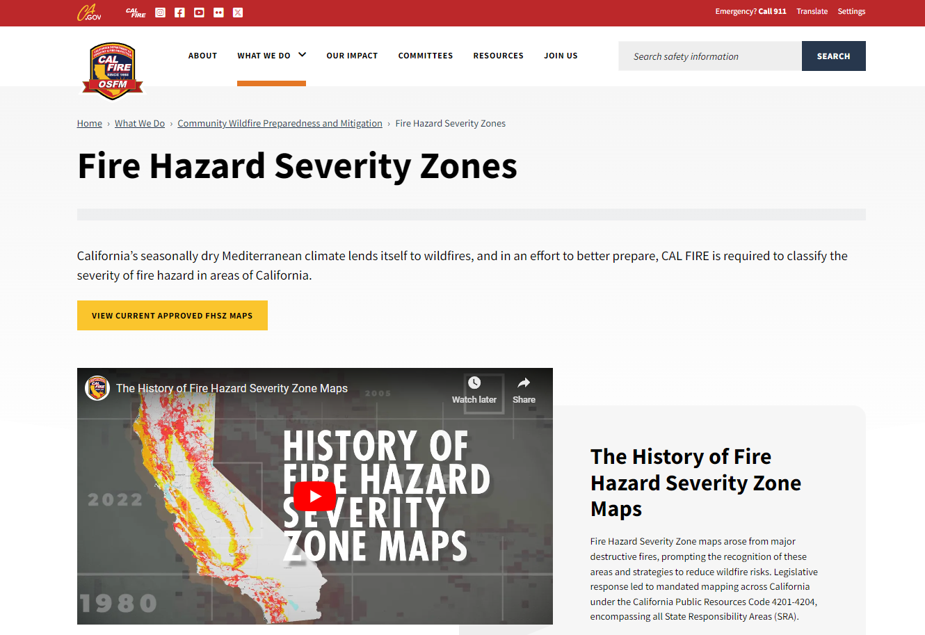
CalFire Hazard Severity Zones
The Fire Hazard Severity Zone (FHSZ) maps are developed using a science-based and field-tested model that assigns a hazard score based on the factors that influence fire likelihood and fire behavior. Many factors are considered such as fire history, existing and potential fuel (natural vegetation), predicted flame length, blowing embers, terrain, and typical fire weather for the area. There are three levels of hazard in the State Responsibility Areas: moderate, high, and very high.

