About
The Santa Barbara County Wildfire Resilience Collaborative, housed within Cachuma Resource Conservation District, is a multi-stakeholder collaborative network working to create a more fire adapted community. The collaborative seeks to protect and enhance communities, natural resources and habitats by building capacity, strengthening and expanding wildfire preparedness, mitigation, response, and recovery. This includes advancing projects that restore our natural ecosystems that help reduce fire risks. Current managing partners are Cachuma Resource Conservation District, Community Environmental Council and Legacy Works Group.
-
The project is funded by a grant from the California Coastal Conservancy (Wildfire Resilience Grant program). The grant was awarded in February 2023 and will run through February 2025.
-
The project is building off the Regional Priority Plan for Fire Resilience (RPP) that was completed in 2022 with funding from the California Coastal Conservancy. The RPP identified over 50 wildfire related projects and activities in Santa Barbara County – some underway or planned, and some needing capacity support to move forward. The Santa Barbara County Wildfire Resilience Collaborative was formed to advance RPP conceptual stage projects to the implementation stage through project and partnership development and planning.
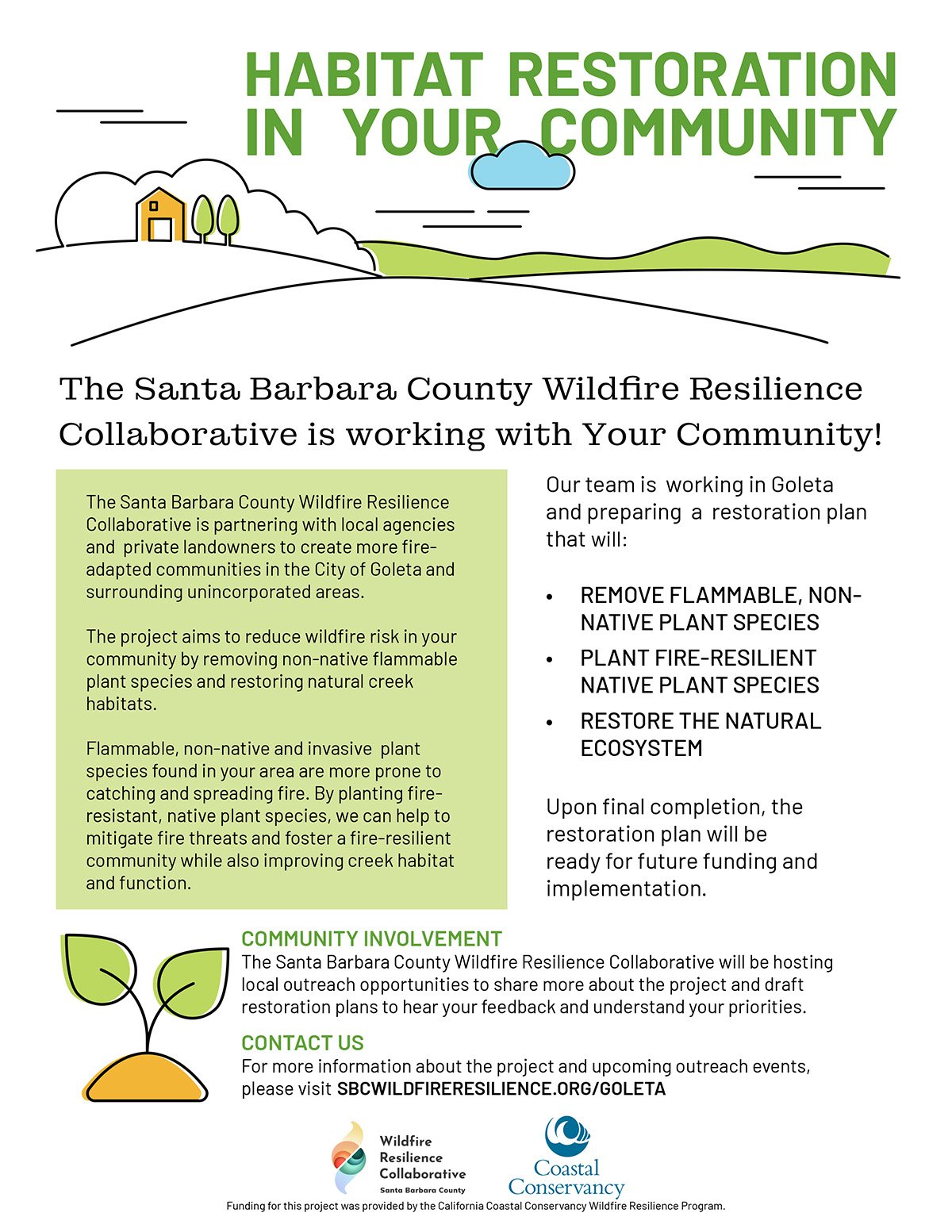
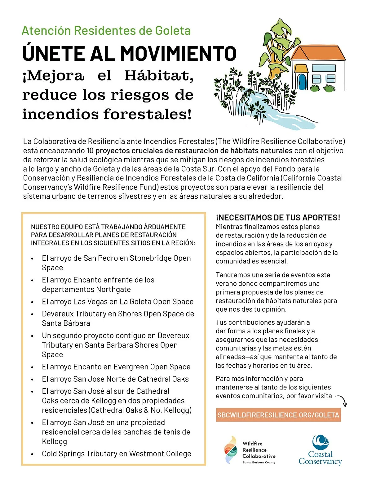
The initial list of potential habitat restoration projects was identified through the Environmental Defense Center’s Watersheds and Wildland Urban Interface report. However, the project is not limited to only the creeks identified in the report. Working in collaboration with partners and local communities, the WRC is now developing plans for 10 projects in the City of Goleta and unincorporated County areas with the Cheadle Center for Biodiversity and Ecological Restoration at UC Santa Barbara as our restoration plan contractor. This phase of the work includes defining scopes and plans for project sites, landowner coordination, conducting community outreach to get public feedback on concepts and priorities, and developing a restoration plan for each site.
-
Creeks and riparian corridors can be on private or public lands and no one agency has authority over wildfire resilience management of these areas. Creeks with reduced flow due to drought or extraction of water can increase fire risk when riparian vegetation dries out. If riparian corridors surrounding creeks burn, there is also increased flood risk. This is called a cascading effect.
Get Involved
Join the conversation.
We invite you to participate in strengthening our community’s resilience by sharing your insights with the Wildfire Resilience Collaborative.
Projects
City of Goleta
Replace pine trees and other nonnative plants with native riparian and oak savannah plants in Stonebridge Open Space. Pine trees an issue 5-10 homeowners nearby.


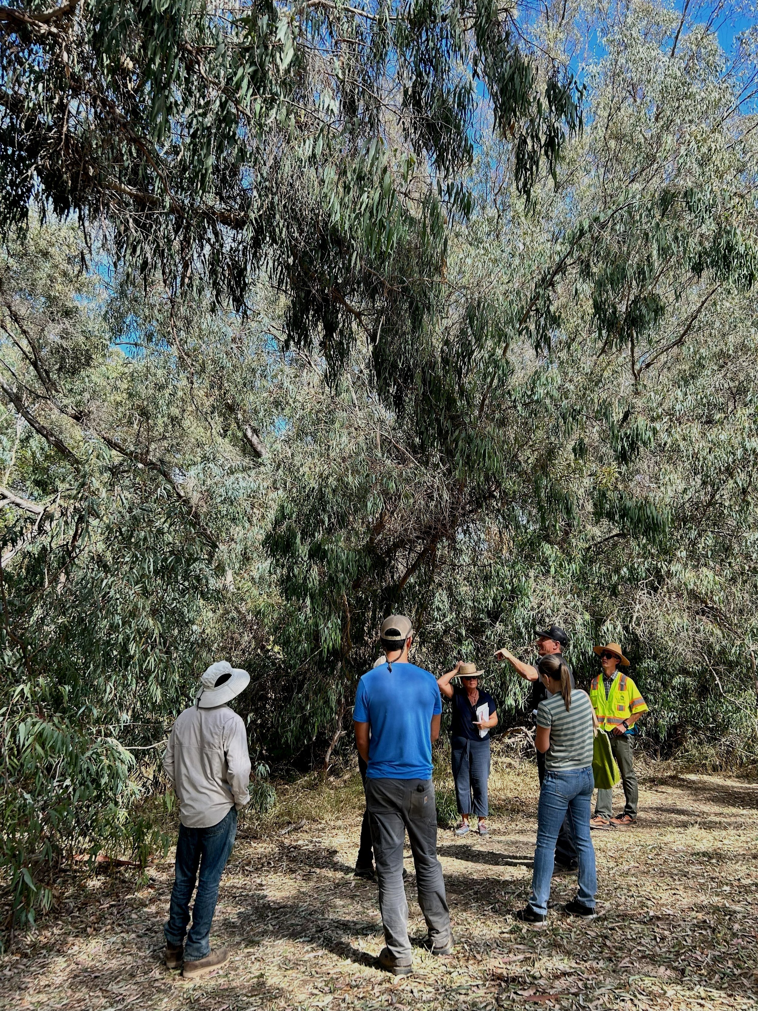
El Encanto Creek, also known as Phelps Creek, is a tributary of the Devereux Slough. It begins in the foothills, passing through Glen Annie Golf Course, Evergreen Park, West Goleta, and eventually feeds into the upper Devereux Slough at the North Campus Open Space. The section of El Encanto Creek is just north of Cathedral Oaks Road across from a large apartment complex. Overall this site is a mix of dense native vegetation and large stands of flammable, non-native plants that degrade the habitat and pose a fire risk to the nearby residents. Located at the Wildland-Urban Interface (WUI), mitigating fire risk in El Encanto Creek is a high priority. Restoration recommendations for this 3-acre site include removal of highly flammable Blue-Gum Eucalyptus trees, restoring riparian habitat, and eliminating off-pavement parking to protect riparian habitat and reduce ignition hazard from vehicles.


Las Vegas Creek is one of Goleta’s smallest streams with four tributaries that originate in the foothills above Cathedral Oaks Road between Fairview Avenue and La Goleta Road on the west and Cambridge Drive on the east. There are two neighborhood open spaces off of North Fairview Road that contain a heavily vegetated section of Las Vegas Creek. However, the slopes of the creek are nearly vertical and 10 to 20 feet deep to the creek bottom. The restoration plan addresses two segments of the creek in passive-use open space areas to reduce fire fuel, increase native plant diversity, and preserve recreational areas. The first area is on La Goleta Road, which currently provides a buffer and fire staging area between irrigated orchards and the residential area. The second is in an adjacent open space area on Paseo Palmilla Road surrounded by residential development. The restoration plan calls for removal of invasive highly flammable Eucalyptus, pines and castor bean and planting oak trees and riparian plant ‘islands’ to restore a healthy creek buffer within the open spaces. There is also opportunity here to consider laying back the creek banks and establishing a broader riparian corridor and space for water to slow down and infiltrate into the soils, thereby helping to hydrate vegetation and reduce their flammability, and improve habitat.


Beginning under Hwy 101, the Eastern Tributary of Devereux creek courses behind Ellwood School, under Hollister Avenue, and through the open space surrounding Santa Barbara Shores Park, before connecting with Devereux Creek at the Ellwood Mesa Sperling Preserve. The restoration site is contained within the Santa Barbara Shores Park and the surrounding open space and consists of 5.4 acres. Overall the site is highly invaded by non-native species, especially highly flammable Eucalyptus and the dry and flammable vegetation poses a risk to the community. Restoration objectives include reducing fire risk and restoring habitat by increasing landscape hydration and replacing flammable species with more resilient natives. This will be achieved via a phased removal of high water-use and highly flammable invasive and non-native trees such as eucalyptus. The restoration work will also increase habitat quality by diversifying areas dominated by invasive plants with native species that can support nectaring butterflies and other native species (birds and insects). Though not officially a designated monarch aggregation site, the Eucalyptus on the eastern side are used frequently by monarchs during the fall. However, overwintering has not been observed at this location.


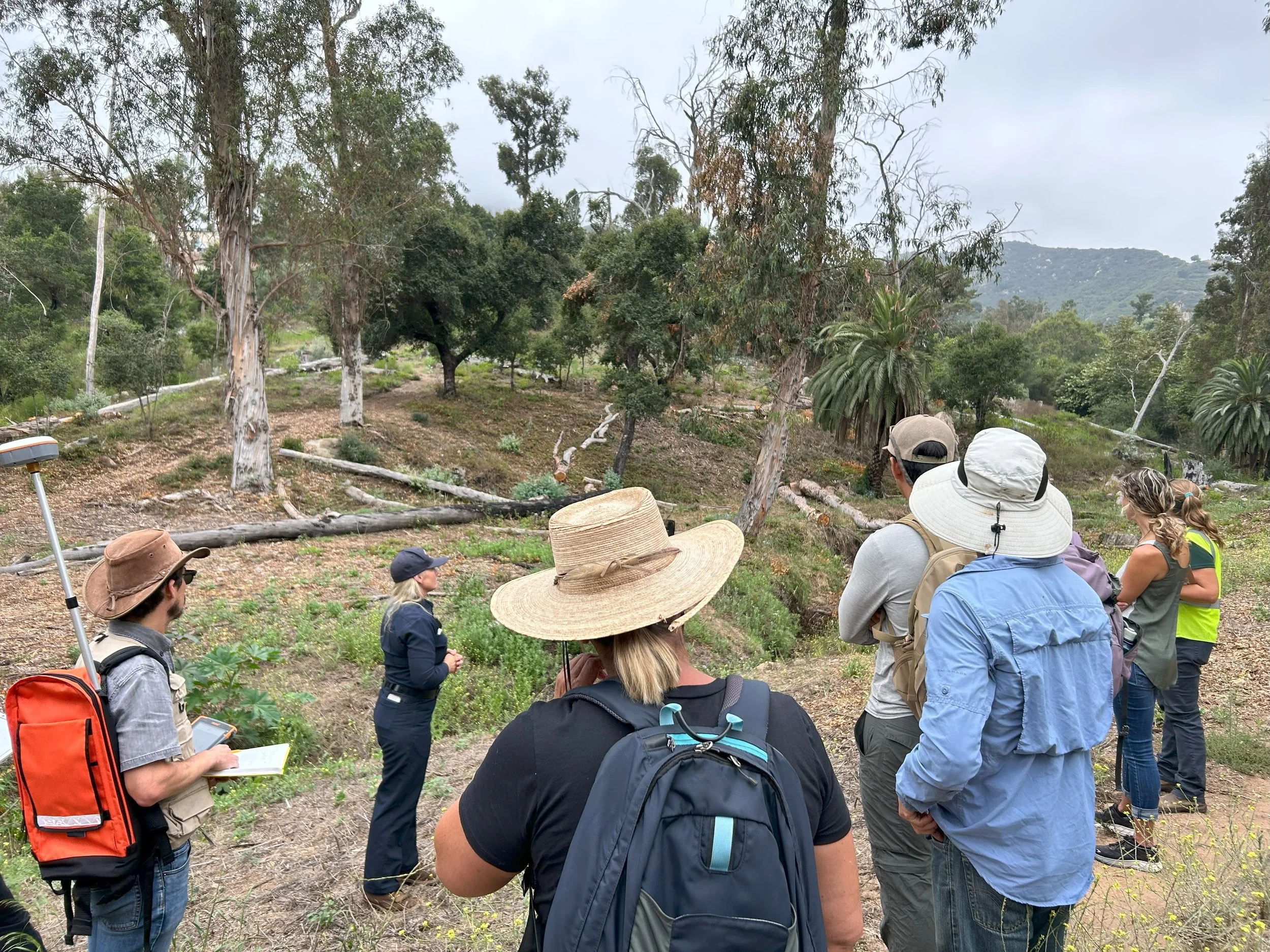
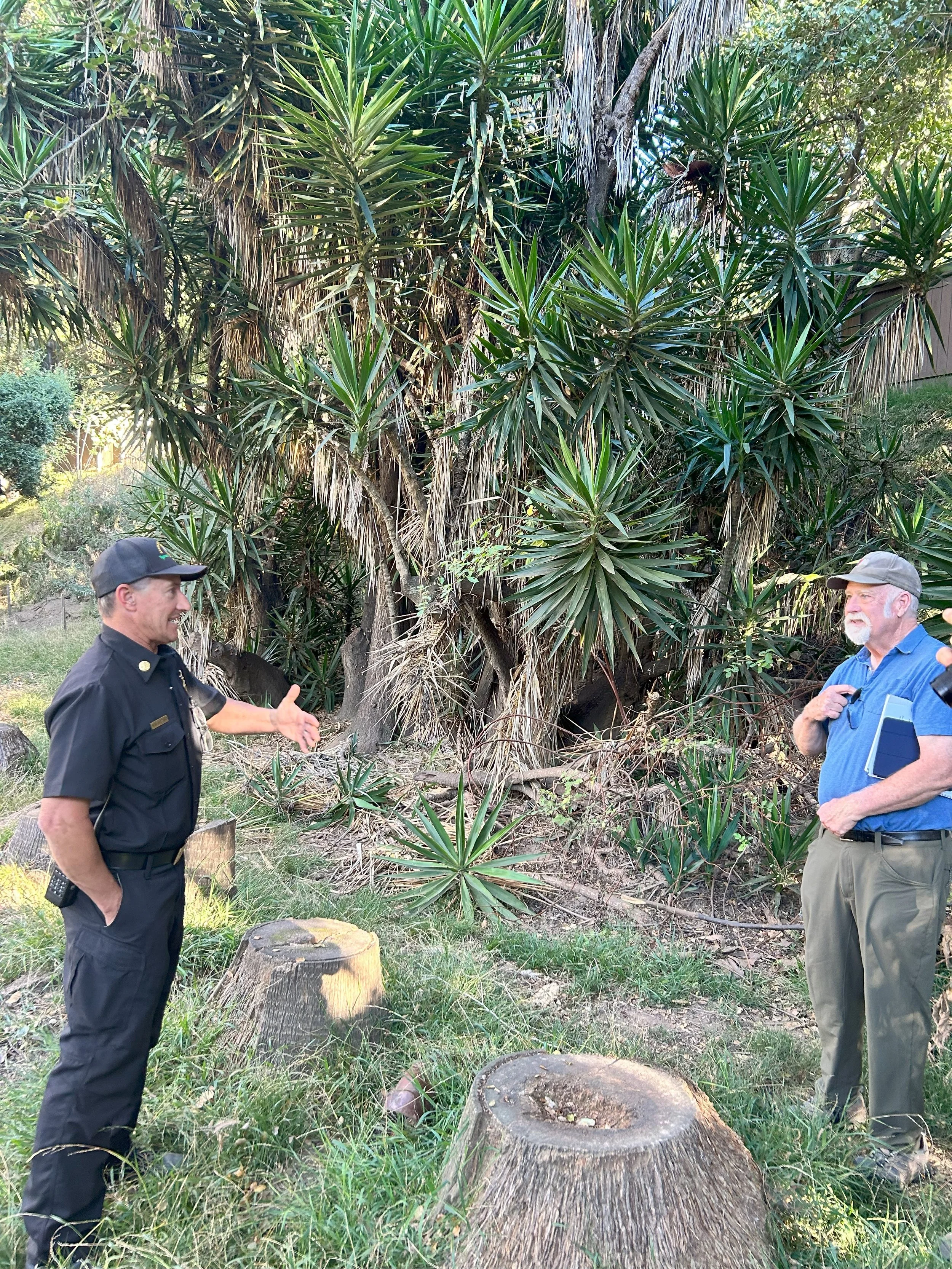
Evergreen Park is a 21-acre well-used park owned by the City of Goleta that serves a mix of users from families and neighborhood dog walkers and strollers to groups of disk frisbee golf players (Figure 1). Hydrologically, the park incorporates the upper arms of El Encanto creek, a tributary to Devereux Slough. Degraded creek, remove dead/dying and young Eucs; phase other removal. The site has a significant number of dead and downed Eucalyptus trees and flammable palm trees on site which pose a fire risk to the community. Proposed restoration actions would increase fire resilience and ecological health by enhancing water retention and landscape hydration, removing dead and dry woody material and Eucalyptus thickets, and removing flammable palms and other invasive plants that have the potential to build up dried ladder fuels.
San Jose Creek Cluster (Private/City of Goleta/County)
North of Patterson Bridge/Rock Embankment area. Remove eucalyptus trees and revetment at Patterson Avenue Bridge. Plant native riparian plants.


COVA: Replace eucalyptus trees and other non-native flammable trees with native riparian trees at Cathedral Oaks Road and Kellogg Avenue. Has mitigation requirements w/CDFW (streambed alt agreement).
Cavaletto: Remove eucalyptus trees and dead understory. Property adjacent to COVA HOA and could connect restoration along the creek corridor.
Tree Farm: Downstream and adjacent to COVA and Cavaletto properties. Remove eucalyptus trees and other non-native invasives; restore understory. Community open space and pathway along upper creek bench has been landscaped with a mix of native and non-natives (and is being maintained) as part of the project mitigation. Creek restoration would include only natives. This would be part of a 3 property restoration effort of contiguous properties.
Westmont


Westmont College in Montecito is located in the Wildand-Urban Interface (WUI) and has experienced a number of recent wildfires that have burned around and onto parts of the campus. This phase of planning includes a two acre site along a tributary of Cold Springs Creek that runs through the campus and adjacent to a gated residential community. On the lower portion of the drainage, Montecito Fire Department has cleared dead and downed Eucalyptus trees damaged by a previous fire, and the Regional Wildfire Mitigation Project recently planted oak tree saplings on the site. The restoration plan will focus on planting a native plant understory to prevent growth of flammable grasses and weeds, and improve the overall habitat value of the area. Plantings being considered for this site are ‘soft’ low growing native plants to allow for emergency vehicle access into the area for future fire staging, if needed. A large dense stand of Eucalyptus trees, along with fan palms, remain in the upper part of the drainage. A phased Eucalyptus removal plan is being considered to eventually transition this highly flammable grove to native oaks, sycamores and other native riparian plants and reduce the Eucalyptus footprint to a manageable (and less explosive) size. There is interest by the college in engaging students in the planning process, planting and ongoing research.
Upcoming Events
There are no upcoming events.

