
Maintain the Regional Priority Plan Wildfire Data Portal
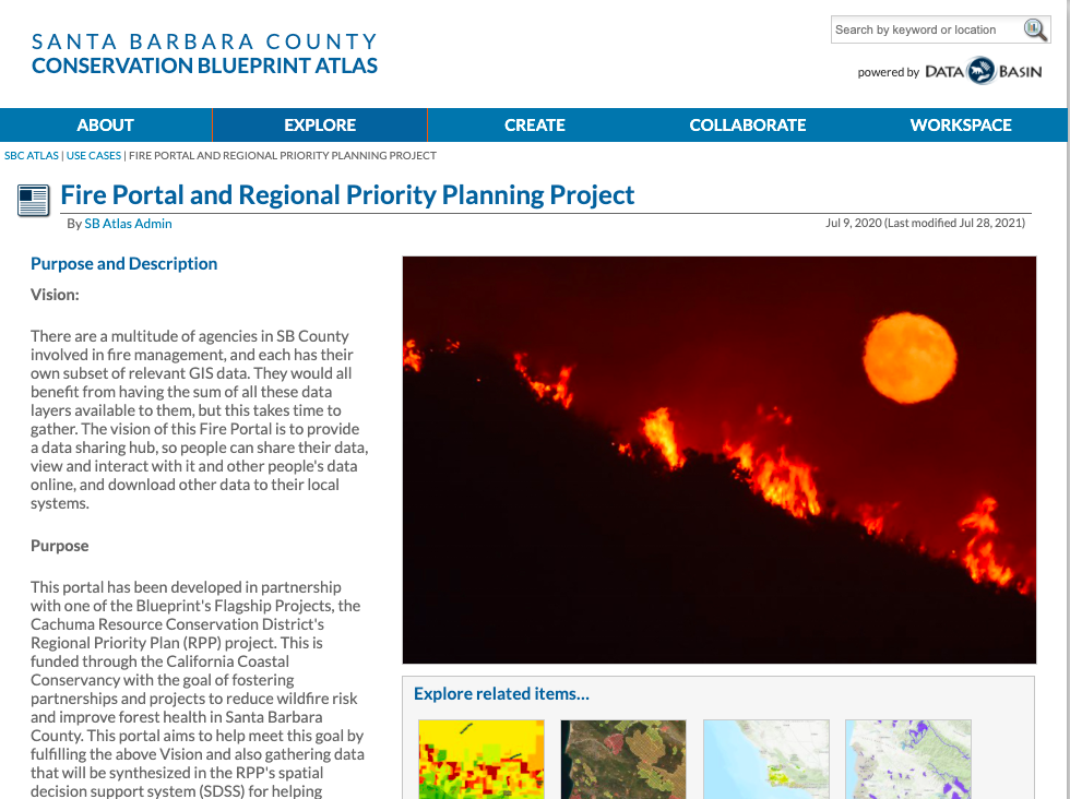
There are a multitude of agencies in SB County involved in fire management, and each has their own subset of relevant GIS data. They would all benefit from having the sum of all these data layers available to them, but this takes time to gather. The vision of the RPP Wildfire Portal the RPP team created is to provide a data sharing hub, so people can share their data, view and interact with it and other people's data online, and download other data to their local systems. As of July 2021, the team had collected the largest centralized Fire Database of GIS layers in the County, with over 150 GIS datasets. As time goes by, new GIS datasets pertinent to the project goals become available, as do updated versions of previous datasets. We recommend maintaining and adding to the repository overtime to ensure it remains relevant and up to date.
Status: In Progress
Cost: Low
Partners: Community Environmental Council, Cachuma Resource Conservation District, Office of Emergency Management, Regional Wildfire Mitigation Program, Santa Barbara Fire Safe Council, McGinnis Environmental, Sharyn Main Consulting, Spatial Informatics Group - Natural Assets Laboratory (SIG-NAL), Conservation Blueprint
Funding Sources: Funds provided via California Coastal Conservancy Wildfire Resilience Program
Permitting: None