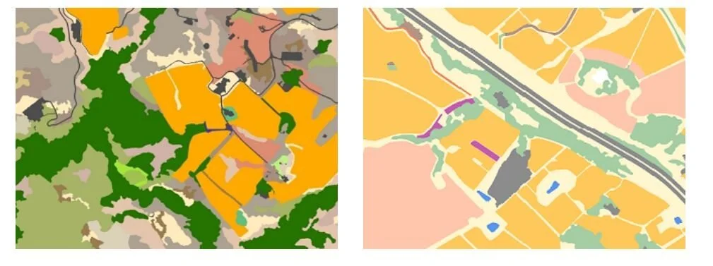
Fine Scale Mapping of Critical County Resources
A key SBC Fire Department leader shared that Santa Barbara County needs to increase the pace and scale of fine scale mapping of built and natural resources to facilitate effective planning and avoid unnecessary conflicts. Making aggregated county wide data on environmentally sensitive habitats (ESH) readily available would facilitate the preparation and updating of Community Wildfire Protection Plans (CWPPs) by enabling agencies to avoid proposing projects in ESH. When agencies create or update CWPPs, they work with the data readily available to them, and in many areas like behind Mission Canyon and Carpinteria/Summerland and Montecito, ESH has not been thoroughly mapped and is incomplete or inaccurate. While mapping it does not absolve agencies from doing site specific assessments for proposed projects, having the data is important to shaping proposed projects ahead of time to avoid ESH or proposed project methodologies that are compatible with the particular kind of ESH present. For example, If it's known that Refugio Manzanita or Santa Barbara honeysuckle or Nuttall's Scrub Oak is present in a location, SBCFD will avoid proposing a project in that location. Having more accurate data on habitat sensitivities would thus avoid costly conflicts and help build better relationships with environmental groups concerned about habitat disturbance.
Status: Underway
Cost: High
Partners:
Permitting: None
Funding Sources:

